Working...

No Trees Allowed
Mixed-Grass Prairie Ecology
Why is the prairie? Why, for thousands of years, have grasslands blanketed Kansas, and not trees? The prairie ecosystem has adapted to conditions that spell doom for most woody plants-low moisture, fire, and periods of intensive grazing. Woody plants store most of their biomass above ground, so fire easily kills tree seedlings that set root among the grasses. On the contrary, prairie grasses and forbs (herbs other than grasses) maintain half their biomass below ground, in deep root systems. In the past, when fire or a herd of hungry bison swept through, prairie species could quickly send up new shoots.
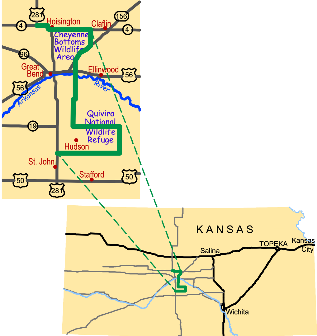
Historically, tallgrass prairie covered the wetter, eastern third of Kansas. Short-grass prairie covered the dry, western third. Here in central Kansas, the two prairie communities mix. Although most native prairie has been converted to crops, you can still see mixed-grass prairie at both the Quivira National Wildlife Refuge and Cheyenne Bottoms.
Conservation Reserve Program
Stable soils, better water quality, more wildlife habitat. These are key goals of the Conservation Reserve Program*. This United States Department of Agriculture program pays farmers to covert highly erosive croplands to native habitat. Along the Byway, farmers have utilized this funding to restore several areas of native grassland (known locally as "CRP ground").
Great American Desert
During the 1800s, military reports dismissed settlement of the Great Plains, which they called the "Great American Desert." Invention of the steel plow and advances in farming techniques allowed settlers to homestead this region, which explorer Zebulon Pike had once described as "incapable of cultivation."
Motion and Change
Before the tractor, plowing the thick-rooted prairie sod was backbreaking work. Farmers used a special horse-drawn sod plow to cut and turn the sod. They then cut the overturned sod with an ax, dropped corn kernels into the cut, and closed the cut with the back of the ax.
Download the interpretive panel: No Trees Allowed Panel located at the Quivira Scenic Overlook on NE 140th St.
To listen to more information click on the Audio Tour Track #6
Go to the Gallery to view photographs contributed by visitors to the Byway.
* Conservation Reserve Program
One good way to conserve the health of land with highly erosive soil is to shift that land from growing crops to growing native grasses. The federal Conservation Reserve Program helps fund this process. Farmers receive an annual rental payment in exchange for converting environmentally sensitive cropland to vegetative cover, like native grasses. Not only does this process reduce erosion-it also establishes important wildlife habitat. CRP grasslands revegetation is a critical conservation practice for grassland birds like upland sandpiper, lark bunting, greater prairie-chicken, scissor-tailed flycatcher, Mississippi kite, and Harris's sparrow, as well as northern bobwhite (quail), ring-necked pheasant, and wild turkey.
Along the Wetlands & Wildlife National Scenic Byway, you'll see many examples of CRP grasslands, particularly on the east and west sides of NE 40th Ave in Stafford County.
More Geology pages...
Cultivating America's Bread Basket
Post Rock and Black Gold